The Greenwich Meridian
…where east meets west
| Location | England East Sussex Peacehaven |
| Peacehaven Heights (formerly Peacehaven Infants school), Roderick Avenue | |
| Distance (S) from Greenwich | |
| OS map details | OS Explorer: 122 |
| OS grid ref | TQ 40944.01224 (540944,101224) |
| WGS84 lat/long | 50.793453, -0.001592 |
| Type | School | Ground (line) | Ground (mosaic) |
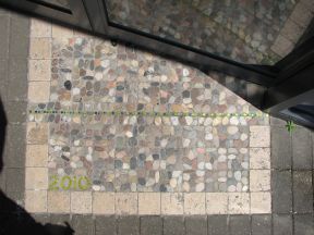
| Marking date | 2001 (replaced 2010) |
| Access | Restricted, but visible from public road |