The Greenwich Meridian
…where east meets west
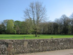
| Location | England East Sussex Iford |
| Middle of field | |
| Distance (S) from Greenwich | |
| OS map details | OS Explorer: 122 |
| OS grid ref | TQ 40787.07275 (540787,107275) |
| WGS84 lat/long | 50.847872, -0.001497 |
| Type | Tree |
| Marking date | 1984 |
| Access | None, but visible from public road |