The Greenwich Meridian
…where east meets west
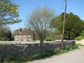
| Location | England East Sussex Iford |
| Grounds of Village Hall | |
| Distance (S) from Greenwich | |
| OS map details | OS Explorer: 122 |
| OS grid ref | TQ 40788.07325 (540788,107325) |
| WGS84 lat/long | 50.848321, -0.001464 |
| Type | Tree |
| Marking date | 2 Jun 2002 |
| Access | Restricted, but visible from public road |