The Greenwich Meridian
…where east meets west
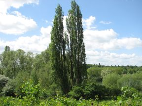
| Location | England Hertfordshire Ware (Easnye Estate) |
| Field (south of Cross Road) | |
| Distance (N) from Greenwich | |
| OS map details | OS Explorer: 174 |
| OS grid ref | TL 37902.12970 (537902,212970) |
| WGS84 lat/long | 51.798381, -0.001586 |
| Type | Tree |
| Marking date | 1903 |
| Access | None, but visible from public road |