The Greenwich Meridian
…where east meets west
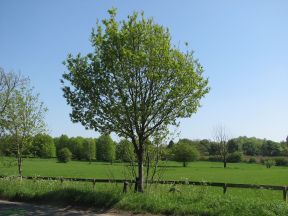
| Location | England Hertfordshire Near Buntingford |
| S side of: B1038 (Hare Street Road) | |
| Distance (N) from Greenwich | |
| OS map details | OS Explorer: 194 |
| OS grid ref | TL 37393.29511 (537393,229511) |
| WGS84 lat/long | 51.947135, -0.002386 |
| Type | Tree | MTL | MTL? |
| Marking date | May 1996 & 2000? |
| Access | Unrestricted |